Project SANDSTORM
Open PDFDocument date: 2011-01-01
Pages: 1
Genre: other
Classification: -
Dissemination: -
This document shortly describes Project SANDSTORM, part of the Active Sigint Enabling Passive Geolocation (ASEPG) program at Menwith Hill, which uses Wi-Fi signal characterization and satellite-based Overhead capabilities to geolocate high-value targets, with geolocations of under 100 meters expected even for low-power signals in denied areas. It focuses on actively enabling SIGINT to track targets via 802.11 wireless networks.
My notes
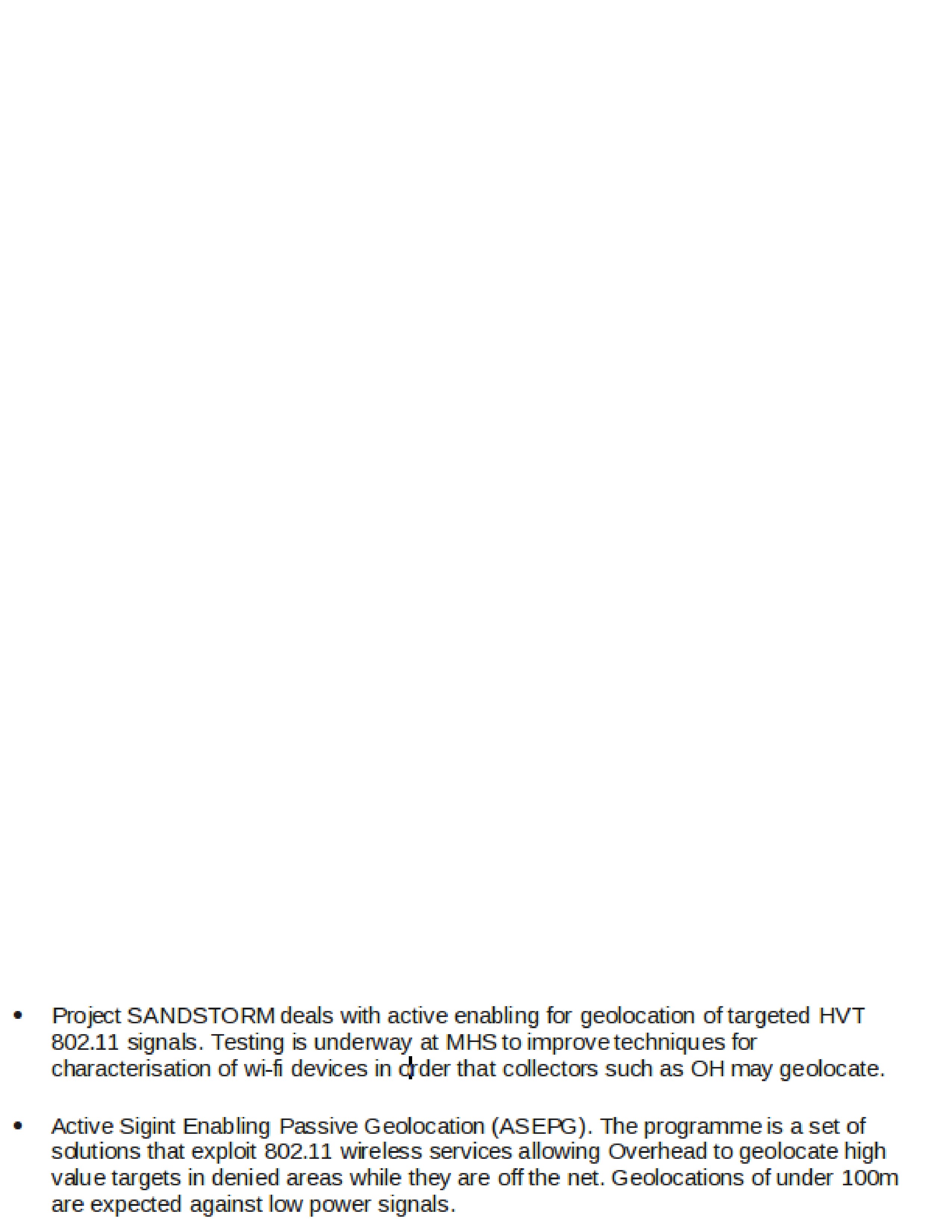
- Project SANDSTORM deals with active enabling for geolocation of targeted HVT 802.11 signals. Testing is underway at MHS to improve techniques for characterisation of wi-fi devices in order that collectors such as OH may geolocate.
- Active Sigint Enabling Passive Geolocation (ASEPG). The programme is a set of solutions that exploit 802.11 wireless services allowing Overhead to geolocate high value targets in denied areas while they are off the net. Geolocations of under 100m are expected against low power signals.
Published in the Same Report
(10 of 26 documents)
-
APPARITION Becomes a Reality: New Corporate VSAT-Geolocation Capability Sees Its First Deployment SIDtoday [pdf]
This document provides an update to the APPARITION system, which is designed to provide precision geolocation information for VSAT terminals. APPARITION, as contrasted with GHOSTHUNTER, is designed to proactively target and geolocate VSATs and for that information to be populated in MASTERSHAKE. The result is that any location will be able to combine VSAT information with FORNSAT information to geolocate targets.
-
Afghanistan 30 enemy killed (Jan-Feb 2012) [pdf]
Taliban high-value targets in Afghanistan shifted to VSAT-based communications, which NSA and GCHQ analysts in Menwith Hill linked to known phone numbers. This intelligence enabled military operations that killed about 30 enemy fighters.
Marking: TOP SECRET -
APPARITION/GHOSTHUNTER TASKING INFO [pdf]
The document details how the NSA’s and GCHQ’s GHOSTHUNTER and APPARITION systems, based primarily at Menwith Hill Station, are used to geolocate VSAT satellite modems for both real-time operational support and strategic intelligence. It explains tasking priorities, coordination processes, and how geolocation results are shared through systems like Mastershake to support surveillance and capture/kill missions.
Programs: APPARITION · GHOSTHUNTER · SOUNDER · CARD · LADYLOVE · JACKNIFE · MOONPENNY · CARBOY · MASTERSHAKE · TRYST -
Elegant Chaos: collect it all, exploit it all [pdf]
This document outlines a classified project, "Elegant CHAOS," focused on advanced signals intelligence (SIGINT) collection, processing, and analysis using cutting-edge technologies like automated surveys and modems. It highlights goals such as real-time data analysis, collaboration with international partners, and integration with cloud-based platforms to manage massive data. See also the document with notes (by GCHQ): "Elegant-Chaos-collect-it-all-exploit-it-all-plus"
Programs: ELEGANTCHAOS · ASPHALT · ASPHALT-A · ASPHALT-A-PLUS · STORMFORCE · DARKQUEST · TORUS · XKEYSCORE · MHS CLOUD · TURMOIL · TARMAC · ASDF · SLR · POPQUIZ · WEALTHYCLUSTER2 · TRAVELLINGWAVE · BILBOBADGER · DRINKYBIRD · GLOBETROTTER · MASTERSHAKE · REST · TRAFFICTHIEF · VENUSAFFECT · FOGHORN · MATCHMAKER · ROADBED · MOONPENNY · AMULETSTELLAR · CLOUD · WEALTHYCLUSTER · MVR · TINT · IPGEOTRAP · MARINA · PLUS -
Elegant Chaos: collect it all, exploit it all (plus notes) [pdf]
GCHQ/NSA presentation describing ELEGANT CHAOS — an automated system at the Menwith Hill Station satellite interception facility that scores and ranks thousands of intercepted satellite signals by intelligence value, automatically deciding which ones deserve collection resources based on criteria like geographic location, target network hits, technology type and Computer Network Operations interest — built to implement the station's directive to "Sniff it All, Know it All, Collect it All, Process it All, Exploit it All, Partner it All" as collection capacity scaled from 100 signals to a planned 3,000 simultaneous intercepts.
Programs: ELEGANTCHAOS · ASPHALT · ASPHALT-A · ASPHALT-A-PLUS · STORMFORCE · DARKQUEST · TORUS · XKEYSCORE · MHS CLOUD · TURMOIL · TARMAC · ASDF · SLR · POPQUIZ · WEALTHYCLUSTER2 · TRAVELLINGWAVE · BILBOBADGER · DRINKYBIRD · GLOBETROTTER · MASTERSHAKE · REST · TRAFFICTHIEF · VENUSAFFECT · FOGHORN · MATCHMAKER · ROADBED · MOONPENNY · WHIZBANG · CLOUDBASE · APLUS · MAILORDER · CROSSBONES · AMULET STELLAR · MVR · TINT · WEALTHYCLUSTER · IPGEOTRAP · MARINA · CLOUD · PLUS -
GSM tower geolocation [pdf]
This TOP SECRET STRAP 1 note describes DYMO, a prototype GSM-tower geolocation system that combines RUFIS-bis (which demodulates co-channel GSM ARFCN streams per cell-ID) with WHAMI Fast Image (WFI) to remodulate and correlate signals to produce high-quality tower geolocation and matching metadata. The remodulated “synthetic geolocation” improves accuracy and is under development in the NMDC/Midas studies.
-
GSM tower mapping made easier and more accurate with new tool SIDtoday [pdf]
This document details DYMO, a prototype developed at the NSA’s Menwith Hill Station—the agency’s large British base operated in close cooperation with GCHQ—for highly accurate GSM tower geolocation. It highlights DYMO’s superior performance in mapping accuracy and metadata integrity, its extensive operational use across regions such as Iraq, Iran, and Somalia, and its integration with tools like GOLDENEYE and the Integrated COMINT System (ICS) to streamline analysis and intelligence fusion.
-
Ghosthunter and the geolocating of internet cafes [pdf]
This document announces an NSA “R Spotlight” webcast introducing GHOSTHUNTER, a multi-agency geolocation program designed to locate Time Division Multiple Access (TDMA) VSAT Internet access points, particularly internet cafés across the Middle East and North Africa in support of U.S. military operations. By mid-2009, GHOSTHUNTER had successfully geolocated over 5,000 VSAT terminals across Middle East demonstrating its operational effectiveness and integration with broader intelligence efforts.
Programs: GHOSTHUNTER -
Ghosthunter future capabilities (2008) [pdf]
This document indicates that Menwith Hill Station (MHS) provides approximately 99% of the FORNSAT data used by GHOSTHUNTER for geolocating targets, while additional FORNSAT sites can be tapped as needed to cover other regions. Although GHOSTHUNTER offers near-global geolocation capabilities, certain areas remain blind spots where coverage is limited.
Programs: GHOSTHUNTER -
GHOSTHUNTER Goes Global [pdf]
This document announces that GHOSTHUNTER, operated from Menwith Hill Station (MHS), is being used to geolocate terminals associated with high-value targets in Iraq and surrounding Middle Eastern countries. It references a hyperlinked article in the station’s Horizon newsletter for further details, which requires a secure NTS-PKI certificate to access due to its classification. The title suggests that GHOSTHUNTER has achieved global reach.
Programs: GHOSTHUNTER



Related Documents
-
New Technique Geolocates Targets Active at Yemeni Cafes SIDtoday [pdf]
A 2010 NSA document from Menwith Hill Station details a new geolocation technique used in Yemen that combines HUMINT café surveys with SIGINT data — including RADIUS logs, passive collection tools, and TAO access — to track targets frequenting internet cafés linked to Al Qaeda. The method, integrating systems like MORK, WINDCHASER, MARINA, and SPARKLEPONY, enabled analysts to identify and monitor dozens of cafés and correlate user activity with high-priority targets.
Programs: GHOSTHUNTER · MORK · RADIUS · WINDCHASER · MARINA · XKEYSCORE · SPARKLEPONY · GHOSTWOLF · TELIR -
SIGINT Target Package Leads to USMC Capture of al-Qa'ida Weapons Procurer SIDtoday [pdf]
This SIDtoday document details the capture of Abu Sayf, an Al-Qa'ida weapons procurer, by the U.S. Marine Corps in Iraq in May 2007, facilitated by SIGINT targeting from Menwith Hill Station and NSA Georgia. The operation disrupted weapons and insurgent smuggling into Iraq and may yield critical intelligence on Al-Qa'ida operations in Iraq, Syria, and Lebanon.
Programs: GHOSTHUNTER -
COMET NEWS (March 2010) [pdf]
This document is a March 2010 edition of the COMET NEWS newsletter, a high-level GCHQ publication designed to inform targeting teams about the latest capabilities and successful operations within the "Overhead" satellite constellation. It specifically highlights a coordinated GCHQ and US overhead (OH) effort to intercept high-priority military and leadership communications from Argentina, utilizing specialized US satellite assets and geolocation techniques to map digital microwave emitters.
Programs: COMET“Britain Used Spy Team to Shape Latin American Public Opinion on Falklands” - The Intercept ↗ (2015-04-02) · “#EspiadosPorLosIngleses: los nuevos documentos de Snowden revelan un plan de espionaje de Gran Bretaña en Argentina por Malvinas” - Todo Noticias ↗ (2015-04-02) · Fishman, Andrew · Greenwald, Glenn -
Traffic Series: Is Your Collection Surveyed or Sustained? SIDtoday [pdf]
This NSA internal newsletter article explains how analysts can determine whether their collected signals intelligence traffic comes from sustained, ongoing collection (tasked through formal requirements) or temporary "survey" activities where satellite collection sites scan for new targets. The article teaches analysts how to read "case notations" (CASNs) to identify whether traffic spikes are from permanent collection or just temporary surveys—warning that valuable intelligence can suddenly disappear when survey activities end unless analysts formally request sustained collection through the SURREY system.
-
Menwith collection assets SIDtoday [pdf]
In 2009, Menwith Hill Station (MHS) planned to receive two new satellites to expand its signals intelligence collection capabilities, enabling broader coverage of China, Afghanistan, Pakistan, Latin America, the Middle East, and North Africa. The new assets were intended to enhance mission flexibility, support FORNSAT collection, and provide the intelligence community with opportunities for discovery, analysis, and sustained monitoring from space.