GEOCELL Supports IRAQI FREEDOM
Open PDFDocument date: 2003-04-03
Type: SIDtoday
Pages: 1
Genre: newsletter
Banner: DYNAMIC PAGE -- HIGHEST POSSIBLE CLASSIFICATION IS TOP SECRET // SI / TK // REL TO USA AUS CAN GBR NZL
Classification: SECRET SI
Dissemination: FOUO
The Geospatial Exploitation Office, on 24/7 watch for the Iraq War, assisted in the mapping of geolocation communications data in near real time for high-value targets and threat activity.
My notes
DYNAMIC PAGE -- HIGHEST POSSIBLE CLASSIFICATION IS
TOP SECRET // SI / TK // REL TO USA AUS CAN GBR NZL
SIDtoday
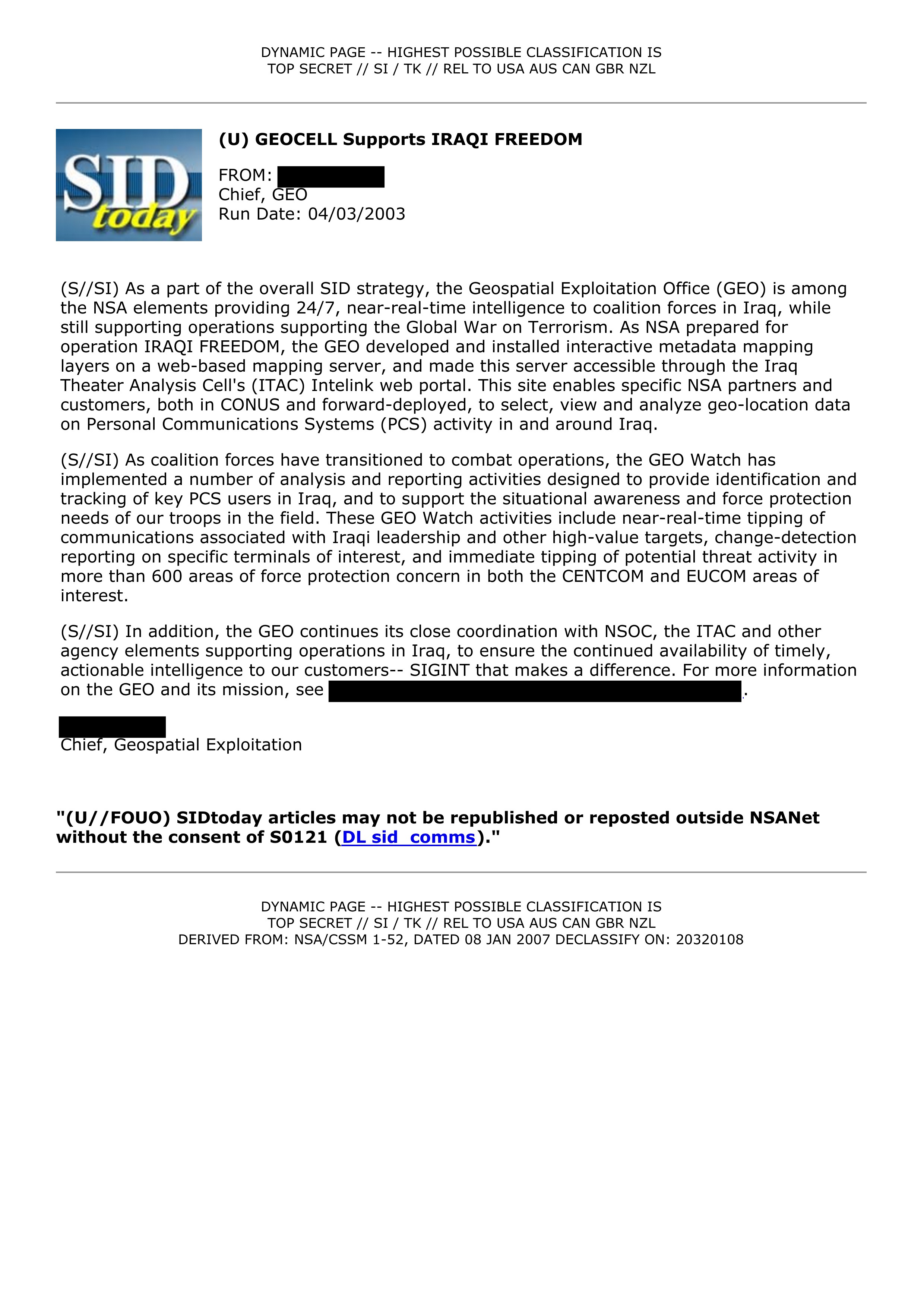
(U) GEOCELL Supports IRAQI FREEDOM
FROM: [REDACTED]
Chief, GEO
Run Date: 04/03/2003
(S//SI) As a part of the overall SID strategy, the Geospatial Exploitation Office (GEO) is among
the NSA elements providing 24/7, near-real-time intelligence to coalition forces in Iraq, while
still supporting operations supporting the Global War on Terrorism. As NSA prepared for
operation IRAQI FREEDOM, the GEO developed and installed interactive metadata mapping
layers on a web-based mapping server, and made this server accessible through the Iraq
Theater Analysis Cell's (ITAC) Intelink web portal. This site enables specific NSA partners and
customers, both in CONUS and forward-deployed, to select, view and analyze geo-location data
on Personal Communications Systems (PCS) activity in and around Iraq.
(S//SI) As coalition forces have transitioned to combat operations, the GEO Watch has
implemented a number of analysis and reporting activities designed to provide identification and
tracking of key PCS users in Iraq, and to support the situational awareness and force protection
needs of our troops in the field. These GEO Watch activities include near-real-time tipping of
communications associated with Iraqi leadership and other high-value targets, change-detection
reporting on specific terminals of interest, and immediate tipping of potential threat activity in
more than 600 areas of force protection concern in both the CENTCOM and EUCOM areas of
interest.
(S//SI) In addition, the GEO continues its close coordination with NSOC, the ITAC and other
agency elements supporting operations in Iraq, to ensure the continued availability of timely,
actionable intelligence to our customers-- SIGINT that makes a difference. For more information
on the GEO and its mission, see [REDACTED].
[REDACTED]
Chief, Geospatial Exploitation
"(U//FOUO) SIDtoday articles may not be republished or reposted outside NSANet
without the consent of S0121 (DL sid comms)."
DYNAMIC PAGE -- HIGHEST POSSIBLE CLASSIFICATION IS
TOP SECRET // SI / TK // REL TO USA AUS CAN GBR NZL
DERIVED FROM: NSA/CSSM 1-52, DATED 08 JAN 2007 DECLASSIFY ON: 20320108
Related Documents
-
Real-Time Regional Gateway Cloud Analytics for Forward Users [pdf]
This document outlines the NSA’s Real-Time Regional Gateway (RT-RG) program, a global cloud-based signals intelligence system designed to provide near real-time data analysis and targeting support for military and intelligence operations. It details the transition to scalable cloud architectures such as GHOSTMACHINE and Cloudbase, enabling massive data retention, exploitation, advanced geolocation, and automated analytics for tracking high-value targets across multiple theaters, including Afghanistan, Iraq, and the Horn of Africa.
Programs: RT-RG · GOLDMINER · GEOT · AGENTLOGIC · SHARKFINN · SKS · PANOPTICON · DRT · CIDNE · JUGGERNAUT · LOPERS · TALIS · MATTERHORN · AIRHANDLER · LYCANTHROPE · VOICESAIL · RETURNSPRING · SORTINGLEAD · GHOSTMACHINE · GMROYALE · GMREGAL · GMGEIST · GMIDEA · GMTOTE · GMPEN · GMPAC · GMCALM · GMMATE · GMAPPLE · GMCAVE · GMPEACH · GMDEN · GMMOUNT · GMALAMO · GMLIGHT · GMBALTIC · GMPLACE · GMPARK · GMHALO · GMCARBON · DRAGONFIRE · DOMEEXPOSE · GIANTSQUID · MAINWAY · FURIOUSCHAINSAW · SHARKFURY · NIAGARAFILES · SHARKQUERY · SHARKDOCS · OCTAVE · UTT · BEDDOWN · CHEEKYMONKEY · LAYERCAKE · CYBERTRANS · GMSEMINOLE · GMGULF · GMZILLA · HLT · JEMA · NEVIS · SEDB · CLOUDBASE · MAPREDUCE · CASPORT · WAVELEGAL“Mission Creep: How the NSA’s Game-Changing Targeting System Built for Iraq and Afghanistan Ended Up on the Mexico Border” - The Intercept ↗ (2019-05-29) · “Norges hemmelige krig i Afghanistan” - NRK ↗ (2019-05-29) · Moltke, Henrik · Skille, Øyvind Bye · Døvik, Olav · Hansen, Ståle Ellingsgard · Fjørtoft, Martin -
3 1/2 Months in Qatar: Supporting CENTCOM SIDtoday [pdf]
This intern worked in Qatar for 3 1/2 months, both before and after the Iraq War started, locating leadership in the Iraqi government.
Programs: GEOCELLThe Intercept ↗ (2016-08-10) -
Embedded with USSOCOM: NSA Reps Provide Direct Analytic Support SIDtoday [pdf]
The NSA helped U.S. special forces “discover a vast and disparate network of Iranian agents in Iraq serving the Iranian Ministry of Intelligence ... or the Islamic Revolutionary Guards Corps.” Analysts embedded with special forces also help to find enemy safe houses, “ratlines,” and VIP facilities.
People: Brown, Bryan D.The Intercept ↗ (2018-08-15) -
Gold Medal Support to the Summer Games SIDtoday [pdf]
NSA personnel worked 24-hour watches and operations while providing support at the 2004 Summer Olympics in Athens.
“A Death in Athens” - The Intercept ↗ (2015-09-28) · “Americans and Greeks started the 2004 wiretaps together” - Kathimerini ↗ (2015-09-29) · The Intercept ↗ (2017-04-24) · Bamford, James · Petropoulos, Aggelos -
SIGINT Target Package Leads to USMC Capture of al-Qa'ida Weapons Procurer SIDtoday [pdf]
This SIDtoday document details the capture of Abu Sayf, an Al-Qa'ida weapons procurer, by the U.S. Marine Corps in Iraq in May 2007, facilitated by SIGINT targeting from Menwith Hill Station and NSA Georgia. The operation disrupted weapons and insurgent smuggling into Iraq and may yield critical intelligence on Al-Qa'ida operations in Iraq, Syria, and Lebanon.
Programs: GHOSTHUNTER