GIS Day at NSA
Open PDFDocument date: 2003-11-17
Type: SIDtoday
Pages: 1
Genre: newsletter
Banner: DYNAMIC PAGE -- HIGHEST POSSIBLE CLASSIFICATION IS TOP SECRET // SI / TK // REL TO USA AUS CAN GBR NZL
Classification: UNCLASSIFIED
Dissemination: FOUO
Presentations on Geographic Information Systems will focus on transitioning from legacy government mapping systems to modern commercial tools.
My notes
DYNAMIC PAGE -- HIGHEST POSSIBLE CLASSIFICATION IS
TOP SECRET // SI / TK // REL TO USA AUS CAN GBR NZL
SIDtoday
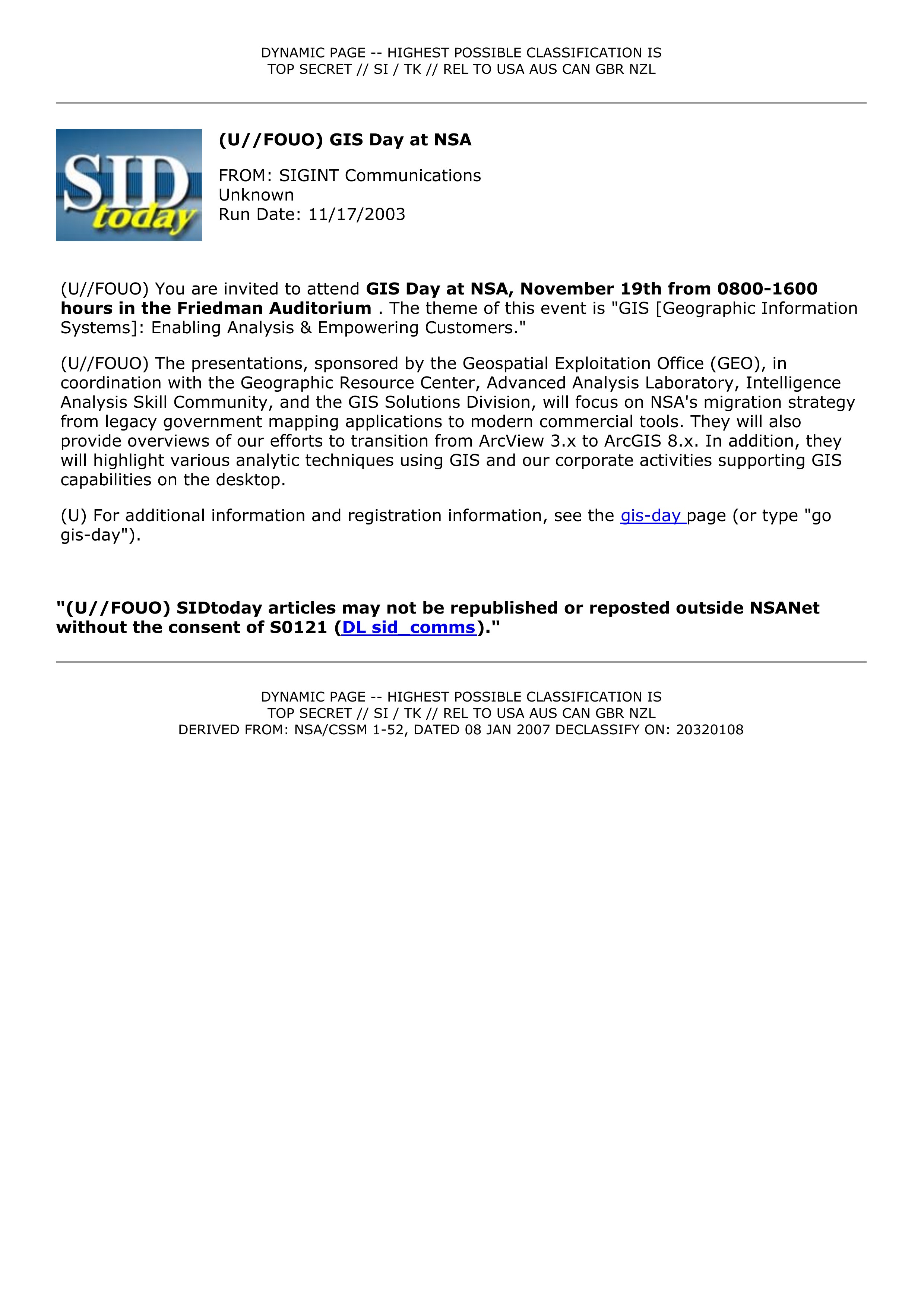
(U//FOUO) GIS Day at NSA
FROM: SIGINT Communications
Unknown
Run Date: 11/17/2003
(U//FOUO) You are invited to attend GIS Day at NSA, November 19th from 0800-1600
hours in the Friedman Auditorium . The theme of this event is "GIS [Geographic Information
Systems]: Enabling Analysis & Empowering Customers."
(U//FOUO) The presentations, sponsored by the Geospatial Exploitation Office (GEO), in
coordination with the Geographic Resource Center, Advanced Analysis Laboratory, Intelligence
Analysis Skill Community, and the GIS Solutions Division, will focus on NSA's migration strategy
from legacy government mapping applications to modern commercial tools. They will also
provide overviews of our efforts to transition from ArcView 3.x to ArcGIS 8.x. In addition, they
will highlight various analytic techniques using GIS and our corporate activities supporting GIS
capabilities on the desktop.
(U) For additional information and registration information, see the gis-day page (or type "go
gis-day").
"(U//FOUO) SIDtoday articles may not be republished or reposted outside NSANet
without the consent of S0121 (DL sid comms)."
DYNAMIC PAGE -- HIGHEST POSSIBLE CLASSIFICATION IS
TOP SECRET // SI / TK // REL TO USA AUS CAN GBR NZL
DERIVED FROM: NSA/CSSM 1-52, DATED 08 JAN 2007 DECLASSIFY ON: 20320108
Related Documents
-
Geospatial Information Systems (GIS) Certificate Program SIDtoday [pdf]
NSA partnered with George Mason University to provide a certificate program in Geospatial Information Systems. The course uses ESRI spatial analysis tools.
Programs: GISThe Intercept ↗ (2016-08-10) -
The Gist of GIS Day SIDtoday [pdf]
Description of Geographic Information Systems Day event to “update the workforce on migration efforts from legacy mapping tools to commercial-off-the-shelf spatial analysis tools.”
The Intercept ↗ (2016-08-10) -
Geographic Information Systems (GIS) Day Slated for Nov. 18th SIDtoday [pdf]
Learn about geospatial analysis and geographic information systems at the NSA.
Programs: GEOCELLThe Intercept ↗ (2017-04-24) -
Embedded with USSOCOM: NSA Reps Provide Direct Analytic Support SIDtoday [pdf]
The NSA helped U.S. special forces “discover a vast and disparate network of Iranian agents in Iraq serving the Iranian Ministry of Intelligence ... or the Islamic Revolutionary Guards Corps.” Analysts embedded with special forces also help to find enemy safe houses, “ratlines,” and VIP facilities.
People: Brown, Bryan D.The Intercept ↗ (2018-08-15) -
D&D; Awareness at NSA SIDtoday [pdf]
To increase NSA staffer awareness of denial and deception in daily analysis, training classes are available through the National Cryptologic School.
Marking: SECRETThe Intercept ↗ (2017-04-24)